Benchmark Locator GIS map tool
this map tool has been developed by Genever and Partners, and is made available subject to copyrights set below
You can use this GIS map tool to locate AOD benchmarks around Greater London by using data available from Ordnance Survey "Bench marks are the visible manifestation of Ordnance Datum Newlyn (ODN), which is the national height system for mainland Great Britain and forms the reference frame for heights above mean sea level. ODN is realised on the ground by a network of approximately 190 fundamental bench marks (FBMs). From these FBMs tens of thousands of lower-order BMs were established. The network has had little maintenance for 30 years, and in some areas (mining areas for example), subsidence has affected the levelling values. In these regions the BMs cannot be relied upon to accurately define ODN."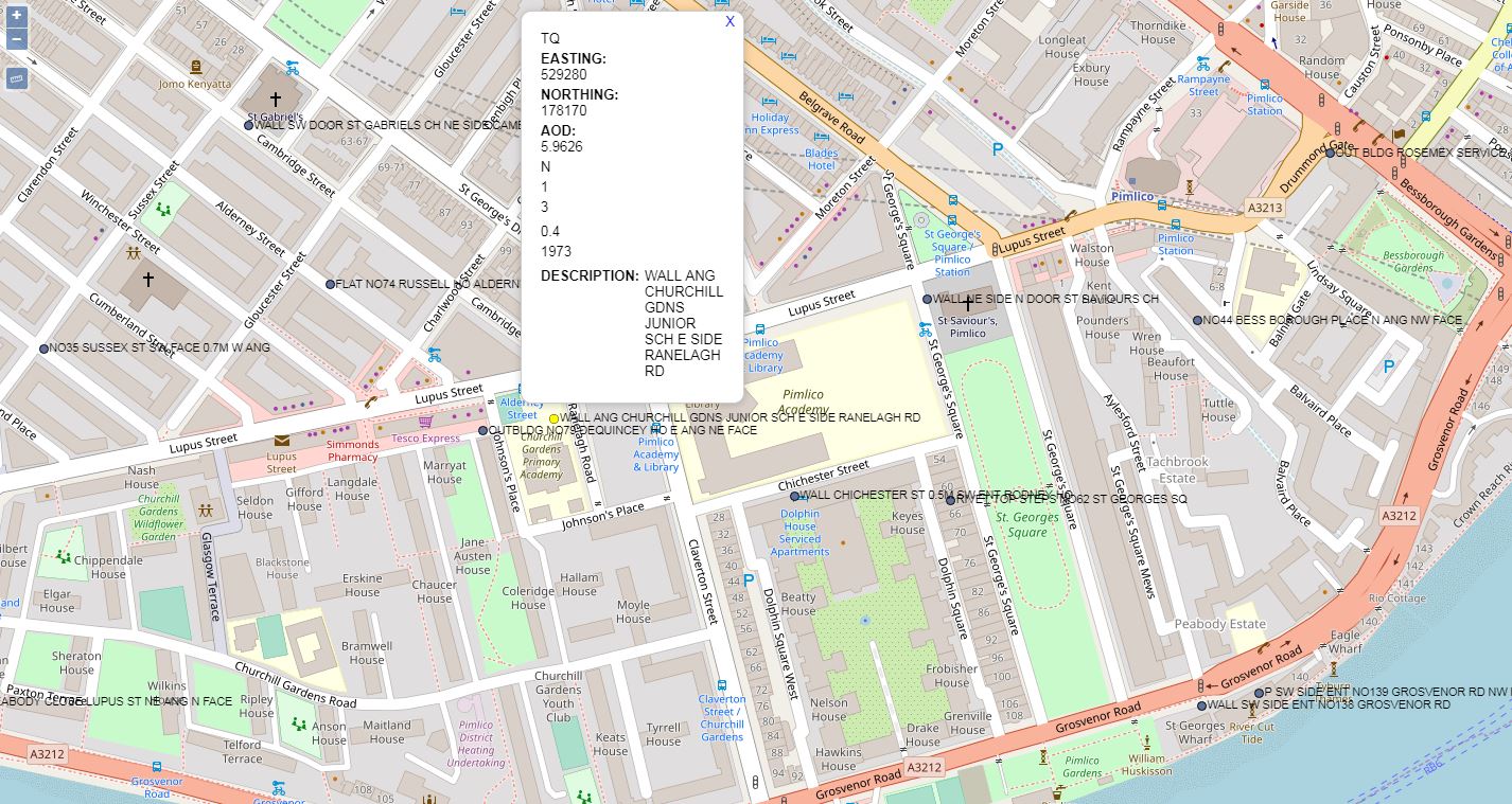
Ordnance Survey Bench marks (BMs) are survey marks made by Ordnance Survey to record height above Ordnance Datum. If the exact height of one BM is known, the exact height of the next can be found by measuring the difference in heights, through a process of spirit levelling. Most commonly, the BMs are found on buildings or other semi-permanent features. Although the main network is no longer being updated, the record is still in existence and the markers will remain until they are eventually destroyed by redevelopment or erosion.
BM Locator GIS free tool
Depending on your broadband, it will take a minute or so to load the webpage being approx. 22MB worth of data labeling
Contains OS data © Crown copyright and database right (2017), Contains Royal Mail data © Royal Mail copyright and Database right (2017), Contains National Statistics data © Crown copyright and database right (2017), © OpenStreetMap contributors